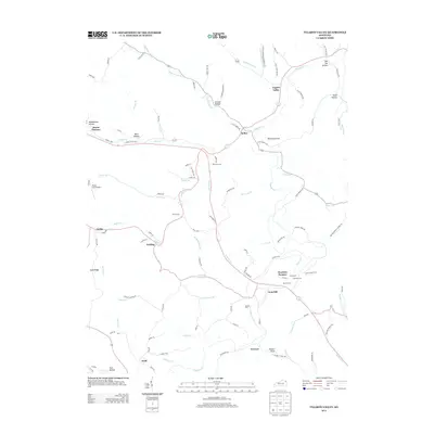
2013 Map of Tygarts Valley
USGS Topo · Published 2013About this map
Boone Furnace and Charlotte Furnace stand as industrial landmarks in this rural landscape, reflecting the region's historical iron production. The terrain is deeply carved by water, with Tygarts Cr serving as a central artery for several small communities. Settlements such as Gesling, Iron Hill, Deevert, and Kehoe are connected by a network of winding roads like Old 3 Prong Rd and Lower Grassy Rd.
Find a feature on this map
102 named features on this map. Tap any name to fly to it.
Don’t see what you’re looking for? This feature index may not catch every label — zoom into the map to look around manually.
Map Details
Editions of this 2013 Tygarts Valley Map
This is the sole edition of this map. No revisions or reprints were ever made.
Other maps of this area

1903 · Kenova
USGS Topo · 1:125,000

1904 · Kenova
USGS Topo · 1:125,000

1915 · Garrison
USGS Topo · 1:62,500

1918 · Garrison
USGS Topo · 1:62,500

1926 · Greenup
USGS Topo · 1:48,000

1930 · Greenup
USGS Topo · 1:62,500

1949 · Garrison
USGS Topo · 1:24,000

1949 · Brushart
USGS Topo · 1:24,000

1950 · Brushart
USGS Topo · 1:24,000

1950 · Grahn
USGS Topo · 1:24,000