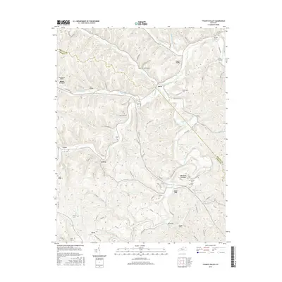
2016 Map of Tygarts Valley
USGS Topo · Published 2016About this map
Boone Furnace and Charlotte Furnace anchor the industrial heritage of this northern Kentucky landscape, where the iron-making history of Carter County is etched into the terrain. The namesake Tygarts Creek winds through the center of the sheet, creating the fertile Tygarts Valley and defining the development of small settlements like Kehoe, Gesling, and Iron Hill. Family legacies are well-preserved across the ridges and hollows, evidenced by numerous burial grounds including Everman Cem, Zornes Cem, and Bentley Cem. The map reveals a complex network of rural infrastructure, from the winding paths of Ramey Branch Rd to the distinctive elevation of Potato Knob. This document provides a clear look at how the legacy of the furnace era and established family lands continued to shape the community's geography into the twenty-first century.
Find a feature on this map
101 named features on this map. Tap any name to fly to it.
Don’t see what you’re looking for? This feature index may not catch every label — zoom into the map to look around manually.
Map Details
Editions of this 2016 Tygarts Valley Map
This is the sole edition of this map. No revisions or reprints were ever made.
Other maps of this area

1903 · Kenova
USGS Topo · 1:125,000

1904 · Kenova
USGS Topo · 1:125,000

1915 · Garrison
USGS Topo · 1:62,500

1918 · Garrison
USGS Topo · 1:62,500

1926 · Greenup
USGS Topo · 1:48,000

1930 · Greenup
USGS Topo · 1:62,500

1949 · Garrison
USGS Topo · 1:24,000

1949 · Brushart
USGS Topo · 1:24,000

1950 · Brushart
USGS Topo · 1:24,000

1950 · Grahn
USGS Topo · 1:24,000