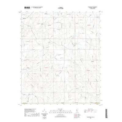
2020 Map of Tylertown SE
USGS Topo · Published 2020About this map
The Mississippi-Louisiana border defines the southern reach of this landscape, where the headwaters of W Fork Pushepatapa Cr and its tributaries carve a network of drainages through Walthall Co and Washington Parish. In the rural settlements of Davo, Kirklin, and Flowers, the landscape is deeply rooted in family history, marked by a dense concentration of lineage-named burial grounds. From the Elisha Crawford Holmes Cem in the north to the Sam McKenzie Cem and Old State Line Cem along the state boundary, these sites anchor the map's genealogical value. The road network, including Fordsville Rd and Kirklin Rd, follows the topography around water features like Kirklin Cr and Bayou Beth, illustrating a rural economy and settlement pattern that remains closely tied to the land's natural contours and historical boundaries.
Find a feature on this map
96 named features on this map. Tap any name to fly to it.
Don’t see what you’re looking for? This feature index may not catch every label — zoom into the map to look around manually.
Map Details
Editions of this 2020 Tylertown SE Map
This is the sole edition of this map. No revisions or reprints were ever made.
Other maps of this area

1939 · Clifton
USGS Topo · 1:31,680

1942 · Thomas
USGS Topo · 1:31,680

1950 · Crains Creek
USGS Topo · 1:31,680

1953 · Hattiesburg
USGS Topo · 1:250,000

1953 · Natchez
USGS Topo · 1:250,000

1953 · Mobile
USGS Topo · 1:250,000

1954 · Baton Rouge
USGS Topo · 1:250,000

1956 · Natchez
USGS Topo · 1:250,000

1956 · Baton Rouge
USGS Topo · 1:250,000

1957 · Mobile
USGS Topo · 1:250,000