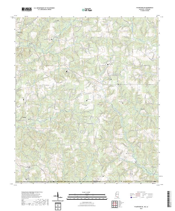
2024 Map of Tylertown SE
USGS Topo · Published 2024About this map
The Mississippi-Louisiana borderlands in southern Walthall County are defined here by a network of creek drainages and multigenerational family settlements. Near the state line, the Bayou Beth State Line Cem and Old State Line Cem sit just north of the Mississippi-Louisiana boundary, serving the rural communities of Kirklin and Davo. The landscape is etched by the West Fork Pushepatapa Creek and East Fork Pushepatapa Creek, which dictate the winding paths of local routes like Kirklin Rd and Airline Hwy. Genealogists will find an exceptional density of family-named burial sites, including the Elisha Crawford Holmes Cem, Jessie C Fortenberry Cem, and the Sam McKenzie Cem, reflecting the deep roots of the area's early residents. These landmarks and the scattered clusters of houses at Flowers and Tylertown reveal a quiet, decentralized rural economy centered on the creek forks.
Find a feature on this map
100 named features on this map. Tap any name to fly to it.
Don’t see what you’re looking for? This feature index may not catch every label — zoom into the map to look around manually.
Map Details
Editions of this 2024 Tylertown SE Map
This is the sole edition of this map. No revisions or reprints were ever made.
Other maps of this area

1939 · Clifton
USGS Topo · 1:31,680

1942 · Thomas
USGS Topo · 1:31,680

1950 · Crains Creek
USGS Topo · 1:31,680

1953 · Hattiesburg
USGS Topo · 1:250,000

1953 · Natchez
USGS Topo · 1:250,000

1953 · Mobile
USGS Topo · 1:250,000

1954 · Baton Rouge
USGS Topo · 1:250,000

1956 · Natchez
USGS Topo · 1:250,000

1956 · Baton Rouge
USGS Topo · 1:250,000

1957 · Mobile
USGS Topo · 1:250,000