
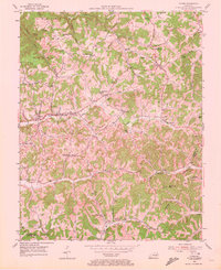
1953 Map of Tyner
USGS Topo · Published 1955About this map
Cumberland National Forest dominates the northwest corner of this Jackson County landscape, where the terrain transitions from protected timberland into a network of ridge-top communities and narrow creek-bottom settlements. The map illustrates a mid-century rural Kentucky economy centered around the junction of Us 421 and KY 30, where the town of Tyner serves as a local hub. Educational and religious life is well-documented, from the Tyner High Sch to smaller rural institutions like Blooming Grove Sch and the Collier Sch.
Find a feature on this map
52 named features on this map. Tap any name to fly to it.
Don’t see what you’re looking for? This feature index may not catch every label — zoom into the map to look around manually.
Map Details
Editions of this 1953 Tyner Map
2 editions found
Other maps of this area

1891 · Manchester
USGS Topo · 1:125,000

1893 · London
USGS Topo · 1:125,000

1897 · London
USGS Topo · 1:125,000

1952 · Portersburg
USGS Topo · 1:24,000

1952 · Manchester
USGS Topo · 1:24,000

1952 · London
USGS Topo · 1:24,000

1953 · Mc Kee
USGS Topo · 1:24,000

1953 · Sandgap
USGS Topo · 1:24,000

1953 · Parrot
USGS Topo · 1:24,000

1953 · Sturgeon
USGS Topo · 1:24,000