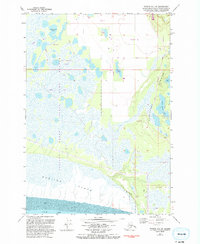
1979 Map of Tyonek B-1 SE
USGS Topo · Published 1993About this map
Susitna Flats State Game Refuge dominates this coastal landscape where the Susitna Flats meet the tidal waters of Knik Arm. Revised in the early 1990s from aerial photography, the map reveals a transition from the marshy lowlands and tidal mud flats to the glacial elevations of the Elmendorf Moraine in the east. The internal geography is defined by a dense network of water bodies, including Horseshoe Lake and Twin Island Lake, interspersed with sections of a historic Winter Trail. Limited infrastructure is concentrated near the moraine, marked by Red Dane Avenue, Guernsey Road, and a substation. This survey provides a precise view of the complex hydrology and surveying tracts before significant modern development altered the drainage patterns of this Alaskan coastal zone.
Find a feature on this map
22 named features on this map. Tap any name to fly to it.
Don’t see what you’re looking for? This feature index may not catch every label — zoom into the map to look around manually.
Map Details
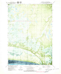
Editions of this 1979 Tyonek B-1 SE Map
2 editions found
Other maps of this area

1949 · Tyonek
USGS Topo · 1:250,000

1951 · Anchorage
USGS Topo · 1:250,000

1951 · Tyonek
USGS Topo · 1:250,000

1951 · Tyonek A-1
USGS Topo · 1:63,360

1952 · Tyonek A-1
USGS Topo · 1:63,360

1952 · Anchorage A-8
USGS Topo · 1:63,360

1952 · Anchorage B-8
USGS Topo · 1:63,360

1953 · Anchorage A-8
USGS Topo · 1:63,360

1953 · Anchorage B-8
USGS Topo · 1:63,360

1958 · Tyonek B-1
USGS Topo · 1:63,360