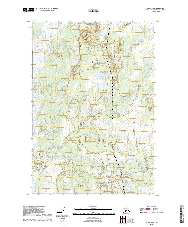
2023 Map of Tyonek D-1 SE
USGS Topo · Published 2023About this map
Willow serves as a central hub within the Susitna Valley on this modern survey, where the Parks Highway intersects a complex network of residential roads and trails. The landscape is defined by the braided drainage of Little Willow Creek and Willow Creek as they flow toward the Susitna River in the west. This area reflects a specific Alaskan pattern of scattered aviation-linked settlements, anchored by the Willow Airport and Rustic Wilderness Airport, alongside the residential cluster at Thomas Strip.
Find a feature on this map
49 named features on this map. Tap any name to fly to it.
Don’t see what you’re looking for? This feature index may not catch every label — zoom into the map to look around manually.
Map Details
Editions of this 2023 Tyonek D-1 SE Map
This is the sole edition of this map. No revisions or reprints were ever made.
Other maps of this area

1949 · Tyonek
USGS Topo · 1:250,000

1949 · Anchorage D-8
USGS Topo · 1:63,360

1950 · Anchorage C-8
USGS Topo · 1:63,360

1951 · Anchorage
USGS Topo · 1:250,000

1951 · Tyonek
USGS Topo · 1:250,000

1951 · Anchorage D-8
USGS Topo · 1:63,360

1952 · Anchorage C-8
USGS Topo · 1:63,360

1952 · Tyonek D-1
USGS Topo · 1:63,360

1952 · Tyonek C-1
USGS Topo · 1:63,360

1952 · Anchorage D-8
USGS Topo · 1:63,360