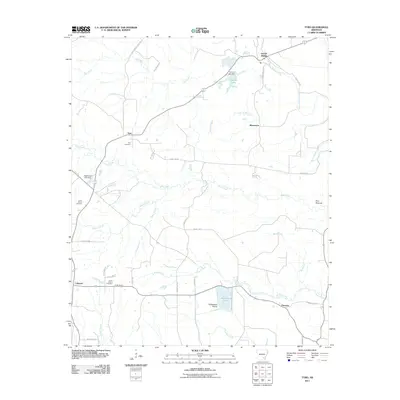
2011 Map of Tyro
USGS Topo · Published 2011About this map
Tyro and the surrounding rural landscape of Drew County are defined by a network of creeks and small crossroads communities. This modern survey shows a region where water and landform have long dictated settlement patterns, with Bayou Bartholomew winding through the eastern portion of the quadrangle. Local heritage is centered on landmarks such as the Tyro Cemetery and Green Mount Cemetery, while the terrain itself features distinctive spots like Twin Mounds and the open Touchstone Prairie.
Find a feature on this map
39 named features on this map. Tap any name to fly to it.
Don’t see what you’re looking for? This feature index may not catch every label — zoom into the map to look around manually.
Map Details
Editions of this 2011 Tyro Map
This is the sole edition of this map. No revisions or reprints were ever made.
Other maps of this area

1935 · Feenyville
USGS Topo · 1:62,500

1935 · Cominto
USGS Topo · 1:62,500

1935 · Rotan
USGS Topo · 1:62,500

1953 · Greenwood
USGS Topo · 1:250,000

1956 · Greenwood
USGS Topo · 1:250,000

1960 · Selma
USGS Topo · 1:24,000

1960 · Collins NW
USGS Topo · 1:24,000

1960 · Collins
USGS Topo · 1:62,500
1964 · Avery
USGS Topo · 1:24,000
1964 · Gourd
USGS Topo · 1:24,000