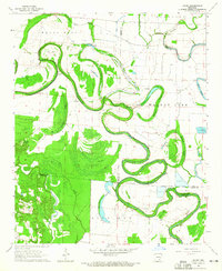
1964 Map of Gourd
USGS Topo · Published 1965About this map
Bayou Bartholomew winds through this mid-1960s landscape, its extreme meanders defining the borders between Lincoln, Desha, and Drew Counties. The terrain is characterized by a complex network of seasonal water and swampy features including Fletcher Brake, Campbells Brake, and Gibson Brake, suggesting a floodplain long utilized for agriculture and aquaculture. Human activity is centered around smaller settlements and agricultural outposts like Valley Farm, supported by a dense distribution of rural institutions.
Find a feature on this map
41 named features on this map. Tap any name to fly to it.
Don’t see what you’re looking for? This feature index may not catch every label — zoom into the map to look around manually.
Map Details
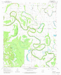
Editions of this 1964 Gourd Map
2 editions found
Other maps of this area

1935 · Cominto
USGS Topo · 1:62,500

1935 · Rotan
USGS Topo · 1:62,500

1935 · Red Fork
USGS Topo · 1:62,500

1936 · McGehee
USGS Topo · 1:62,500

1937 · McGehee
USGS Topo · 1:62,500

1953 · Greenwood
USGS Topo · 1:250,000

1955 · McGehee
USGS Topo · 1:62,500

1956 · Greenwood
USGS Topo · 1:250,000

1960 · Selma
USGS Topo · 1:24,000

1960 · Collins NW
USGS Topo · 1:24,000