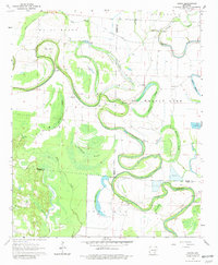
1964 Map of Gourd
USGS Topo · Published 1981About this map
Bayou Bartholomew snakes through the landscape of the Delta at the junction of Lincoln, Drew, and Desha counties, forming a series of dramatic oxbows and swampy depressions. The terrain is characterized by numerous sluggish waterways and brakes, including Fletcher Brake, Campbells Brake, and the distinctive loop known as The Gourd. This area preserves evidence of long-term human habitation, from the prehistoric Indian Mounds located near the bayou to the early-1960s rural network of Valley Farm and small community centers. Local spiritual life is well-documented through scattered landmarks such as Gourd Ch, Palestine Ch, and Orange Chapel. Genealogists will find several burial grounds mapped, including Gourd Cem and Cypress Grove Cem, which serve as quiet anchors for the region's agricultural history.
Find a feature on this map
41 named features on this map. Tap any name to fly to it.
Don’t see what you’re looking for? This feature index may not catch every label — zoom into the map to look around manually.
Map Details
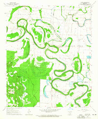
Editions of this 1964 Gourd Map
2 editions found
Other maps of this area

1935 · Cominto
USGS Topo · 1:62,500

1935 · Rotan
USGS Topo · 1:62,500

1935 · Red Fork
USGS Topo · 1:62,500

1936 · McGehee
USGS Topo · 1:62,500

1937 · McGehee
USGS Topo · 1:62,500

1953 · Greenwood
USGS Topo · 1:250,000

1955 · McGehee
USGS Topo · 1:62,500

1956 · Greenwood
USGS Topo · 1:250,000

1960 · Selma
USGS Topo · 1:24,000

1960 · Collins NW
USGS Topo · 1:24,000