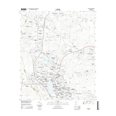
2014 Map of Tyrone
USGS Topo · Published 2014About this map
Tyrone and the expanding northern reaches of Peachtree City dominate this detailed 2014 survey of the Fayette County landscape. The area is defined by a complex network of suburban residential developments and planned communities, such as Smoke Rise Plantation, Graceland Windsong, and Valleywood Corners. Amidst this modern growth, historical markers of the rural past remain visible through numerous family and community burial grounds, including Little Vine Cem, Rock Cem, and the Old Flat Creek Cem near Smiths Crossroads.
Find a feature on this map
366 named features on this map. Tap any name to fly to it.
Don’t see what you’re looking for? This feature index may not catch every label — zoom into the map to look around manually.
Map Details
Editions of this 2014 Tyrone Map
This is the sole edition of this map. No revisions or reprints were ever made.
Other maps of this area

1888 · Atlanta
USGS Topo · 1:125,000

1890 · Atlanta
USGS Topo · 1:125,000

1891 · Marietta
USGS Topo · 1:125,000

1892 · Atlanta
USGS Topo · 1:125,000

1895 · Atlanta
USGS Topo · 1:125,000

1895 · Marietta
USGS Topo · 1:125,000

1897 · Marietta
USGS Topo · 1:125,000

1901 · Marietta
USGS Topo · 1:125,000

1953 · Atlanta
USGS Topo · 1:250,000

1954 · Palmetto
USGS Topo · 1:24,000