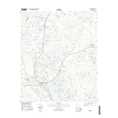
2017 Map of Tyrone
USGS Topo · Published 2017About this map
Peachtree City and Tyrone serve as the primary hubs for this 2017 study of the Fayette County landscape. The area is defined by a dense network of suburban developments and extensive water features, including the sprawling Lake Peachtree and Lake Kedron which anchor the local hydrology. Smaller settlements such as Shake Rag, Aberdeen, and Clover appear alongside the expanding outskirts of Fayetteville.
Find a feature on this map
285 named features on this map. Tap any name to fly to it.
Don’t see what you’re looking for? This feature index may not catch every label — zoom into the map to look around manually.
Map Details
Editions of this 2017 Tyrone Map
This is the sole edition of this map. No revisions or reprints were ever made.
Other maps of this area

1888 · Atlanta
USGS Topo · 1:125,000

1890 · Atlanta
USGS Topo · 1:125,000

1891 · Marietta
USGS Topo · 1:125,000

1892 · Atlanta
USGS Topo · 1:125,000

1895 · Atlanta
USGS Topo · 1:125,000

1895 · Marietta
USGS Topo · 1:125,000

1897 · Marietta
USGS Topo · 1:125,000

1901 · Marietta
USGS Topo · 1:125,000

1953 · Atlanta
USGS Topo · 1:250,000

1954 · Palmetto
USGS Topo · 1:24,000