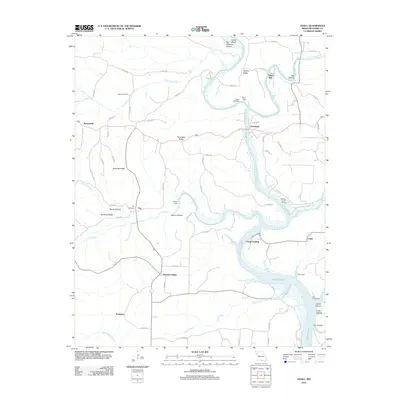
2012 Map of Udall
USGS Topo · Published 2012About this map
Bryant Creek and the North Fork River converge near Tecumseh, anchoring a landscape defined by deep river valleys and Ozark highlands. This Missouri-Arkansas border region is marked by small settlements like Hardenville and Howards Ridge, which are connected by a network of local roads that follow the high ground between hollows. The presence of Dawt Mill on the riverbank highlights the local importance of water-driven industry, while Udall Landing and the northern reaches of Norfork Lake illustrate the transition from free-flowing rivers to reservoir backwaters. Genealogists will find value in the scattered burial grounds such as Sallee Cemetery and Parker Cemetery, which are tucked away near Little Pine Creek and Pine Hill. The terrain is deeply incised by drainages like Lick Creek and Liner Creek, creating a complex topography of ridges and hollows.
Find a feature on this map
76 named features on this map. Tap any name to fly to it.
Don’t see what you’re looking for? This feature index may not catch every label — zoom into the map to look around manually.
Map Details
Editions of this 2012 Udall Map
This is the sole edition of this map. No revisions or reprints were ever made.
Other maps of this area

1890 · Mountain Home
USGS Topo · 1:125,000

1891 · Mountain Home
USGS Topo · 1:125,000

1894 · Mountain Home
USGS Topo · 1:125,000

1934 · Gainesville
USGS Topo · 1:48,000

1940 · Gainesville
USGS Topo · 1:62,500

1944 · Cureall
USGS Topo · 1:62,500

1945 · Harrison
USGS Topo · 1:250,000

1946 · Cureall
USGS Topo · 1:62,500

1949 · Harrison
USGS Topo · 1:250,000

1954 · Harrison
USGS Topo · 1:250,000