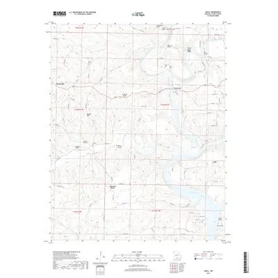
2017 Map of Udall
USGS Topo · Published 2017About this map
Bryant Creek and the North Fork River converge near Tecumseh, marking a landscape defined by deep ridges and water-carved hollows in southern Ozark County. The presence of Dawt Mill along the river highlights the historical reliance on water power in this region, while the southern reaches of the map show the impact of modern infrastructure as the river widens into Norfork Lake. Smaller communities like Hardenville and Udall are connected by a network of county roads and state highways that navigate the difficult terrain of Tecumseh Ridge and Howards Ridge. Genealogists may find particular interest in several family-named landmarks and burial sites, including the Sallee Cem, Parker Cem, and Fay Cem, which are tucked away in the uplands and hollows.
Find a feature on this map
84 named features on this map. Tap any name to fly to it.
Don’t see what you’re looking for? This feature index may not catch every label — zoom into the map to look around manually.
Map Details
Editions of this 2017 Udall Map
This is the sole edition of this map. No revisions or reprints were ever made.
Other maps of this area

1890 · Mountain Home
USGS Topo · 1:125,000

1891 · Mountain Home
USGS Topo · 1:125,000

1894 · Mountain Home
USGS Topo · 1:125,000

1934 · Gainesville
USGS Topo · 1:48,000

1940 · Gainesville
USGS Topo · 1:62,500

1944 · Cureall
USGS Topo · 1:62,500

1945 · Harrison
USGS Topo · 1:250,000

1946 · Cureall
USGS Topo · 1:62,500

1949 · Harrison
USGS Topo · 1:250,000

1954 · Harrison
USGS Topo · 1:250,000