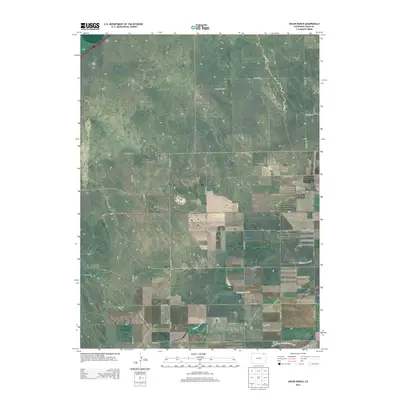
2013 Map of Uhler Ranch
USGS Topo · Published 2013About this map
Uhler Ranch and its surrounding high plains landscape are defined by a grid of rural section lines and the intermittent drainages of the eastern Colorado steppe. The terrain is marked by the winding courses of Wildhorse Creek and the North Fork Frenchman Creek, which carve gentle depressions into the tableland. This 2013 survey illustrates a classic Western land-use pattern where established ranching operations are connected by an extensive network of numbered county roads, such as Co Road 65 and Co Road 38. The passage of Us-6 E through the center of the quadrangle provides a primary transportation corridor across the plains, while the underlying cadastral divisions of Township 8 North, Range 50 West highlight the enduring influence of the Public Land Survey System on the modern Logan County geography.
Find a feature on this map
23 named features on this map. Tap any name to fly to it.
Don’t see what you’re looking for? This feature index may not catch every label — zoom into the map to look around manually.
Map Details
Editions of this 2013 Uhler Ranch Map
This is the sole edition of this map. No revisions or reprints were ever made.
Other maps of this area

1951 · Reiradon Hill
USGS Topo · 1:24,000

1951 · Galien
USGS Topo · 1:24,000

1951 · Iliff
USGS Topo · 1:24,000

1953 · Crook
USGS Topo · 1:24,000

1953 · Proctor
USGS Topo · 1:24,000

1954 · Sterling
USGS Topo · 1:250,000

1958 · Sterling
USGS Topo · 1:250,000

1962 · Fleming
USGS Topo · 1:24,000

1962 · Uhler Ranch
USGS Topo · 1:24,000

1972 · St Petersburg
USGS Topo · 1:24,000