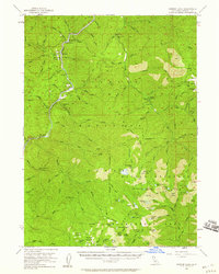
1955 Map of Ukonom Lake
USGS Topo · Published 1960About this map
The Klamath River carves a deep path through Siskiyou County, anchoring a landscape of mid-century mining and forestry. Along its banks, the map records industrial and social points of interest like the Siskiyou Mine, Bunker Hill Mine, and the State Honor Camp. Resource extraction and wilderness management are evident in the placement of the Independence Mine and the Ukonom Lookout atop Ukonom Mtn.
Find a feature on this map
121 named features on this map. Tap any name to fly to it.
Don’t see what you’re looking for? This feature index may not catch every label — zoom into the map to look around manually.
Map Details
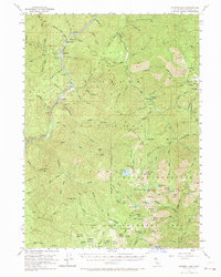
Editions of this 1955 Ukonom Lake Map
3 editions found

Other maps of this area

1914 · Seiad
USGS Topo · 1:125,000

1922 · Preston Peak
USGS Topo · 1:125,000

1922 · Seiad
USGS Topo · 1:125,000

1925 · Hoopa
USGS Topo · 1:125,000

1948 · Weed
USGS Topo · 1:250,000

1950 · Weed
USGS Topo · 1:250,000

1952 · Orleans
USGS Topo · 1:62,500

1955 · Seiad Valley
USGS Topo · 1:62,500

1955 · Dillon Mtn
USGS Topo · 1:62,500

1955 · Sawyers Bar
USGS Topo · 1:62,500