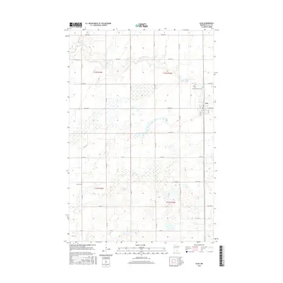
2016 Map of Ulen
USGS Topo · Published 2016About this map
Ulen serves as the central hub of this agricultural landscape in Clay County, Minnesota. The town is oriented around a precise grid of streets such as 2nd St W and 3rd St E, hosting the local Po and neighboring cemeteries like Bethlehem Memorial Cem and Sleeper Cem. Beyond the town limits, the landscape transitions into a vast network of section-line roads and drainage patterns dictated by the S Br Wild Rice River and Felton Cr. The survey details a highly organized township system, specifically within t142n r44w and surrounding blocks, where the prairie has been converted into a methodical arrangement of farmland. In the southwest, Keene Cem stands as a solitary landmark among the fields, marking the legacy of rural community life in this portion of the Red River Valley region.
Find a feature on this map
29 named features on this map. Tap any name to fly to it.
Don’t see what you’re looking for? This feature index may not catch every label — zoom into the map to look around manually.
Map Details
Editions of this 2016 Ulen Map
This is the sole edition of this map. No revisions or reprints were ever made.
Other maps of this area

1918 · Flom
USGS Topo · 1:62,500

1918 · Ulen
USGS Topo · 1:62,500

1919 · Hawley
USGS Topo · 1:62,500

1952 · Grand Forks
USGS Topo · 1:250,000

1953 · Fargo
USGS Topo · 1:250,000

1956 · Fargo
USGS Topo · 1:250,000

1956 · Grand Forks
USGS Topo · 1:250,000

1965 · Syre
USGS Topo · 1:24,000
1965 · Ulen NW
USGS Topo · 1:24,000

1966 · Flom
USGS Topo · 1:24,000