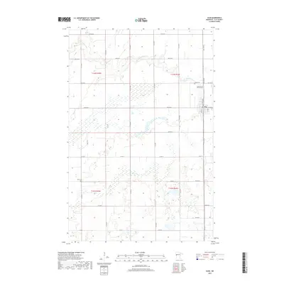
2019 Map of Ulen
USGS Topo · Published 2019About this map
The town of Ulen serves as the primary settlement on this Clay County landscape, where the prairie grid meets the meandering waters of the S Br Wild Rice River and Felton Cr. This 2019 survey reflects a modern agricultural region still deeply rooted in its pioneer-era layout, evidenced by the preservation of historic burial grounds like Sleeper Cem and Bethlehem Memorial Cem on the town's periphery. The eastern edge of the quadrangle is defined by the Agassiz Trail, a route following the ancient shoreline of a glacial lake, while the remainder of the territory is partitioned by numbered avenues and streets. Further south, the remote Keene Cem sits tucked away near the intersection of Co Rd 112 and 210th St N, marking a quiet point of interest for genealogists tracing early families in the Red River Valley hinterlands.
Find a feature on this map
32 named features on this map. Tap any name to fly to it.
Don’t see what you’re looking for? This feature index may not catch every label — zoom into the map to look around manually.
Map Details
Editions of this 2019 Ulen Map
This is the sole edition of this map. No revisions or reprints were ever made.
Other maps of this area

1918 · Flom
USGS Topo · 1:62,500

1918 · Ulen
USGS Topo · 1:62,500

1919 · Hawley
USGS Topo · 1:62,500

1952 · Grand Forks
USGS Topo · 1:250,000

1953 · Fargo
USGS Topo · 1:250,000

1956 · Fargo
USGS Topo · 1:250,000

1956 · Grand Forks
USGS Topo · 1:250,000

1965 · Syre
USGS Topo · 1:24,000
1965 · Ulen NW
USGS Topo · 1:24,000

1966 · Flom
USGS Topo · 1:24,000