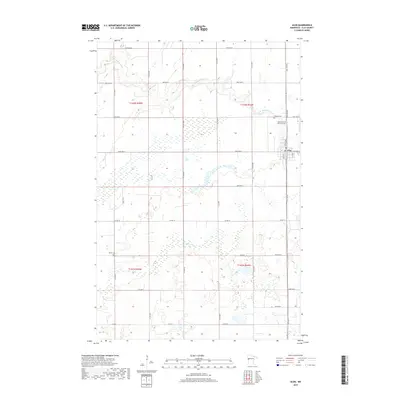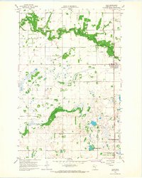
1966 Map of Ulen
USGS Topo · Published 1967About this map
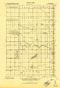
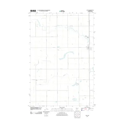
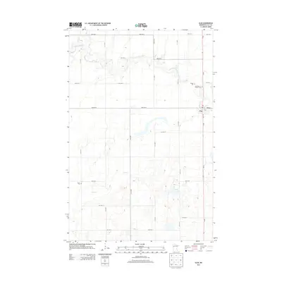
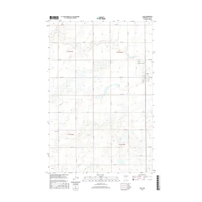
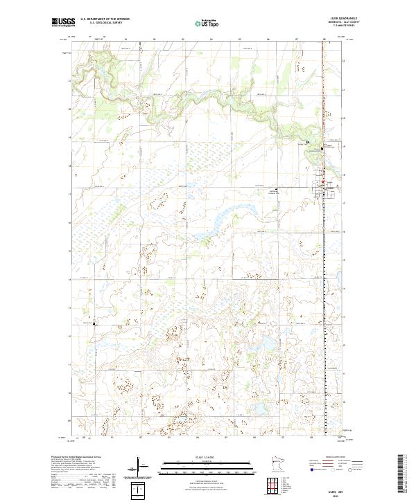
Ulen stands as a central prairie settlement in this mid-1960s survey, defined by the convergence of the Northern Pacific railroad and a landscape managed for both agriculture and conservation. The meandering Wild Rice River and its South Branch cut through the northern townships of Hagen and Ulen, while an extensive network of drainage channels like Ditch No 19 and Ditch No 18 signal the area's conversion to productive farmland. This era captures a transition toward formal land preservation, evidenced by large tracts dedicated to the Ulen State Wildlife Management Area and the Goose Prairie State Wildlife Management Area. Genealogists will find a dense concentration of local history markers, from the Keene Ch in the southwest to a cluster of burial sites including Sleeper Cem, West Cem, and the Bethlehem Memorial Cem.
Find a feature on this map
23 named features on this map. Tap any name to fly to it.
Don’t see what you’re looking for? This feature index may not catch every label — zoom into the map to look around manually.
Map Details
Editions of this 1966 Ulen Map
This is the sole edition of this map. No revisions or reprints were ever made.
Historical Maps of Ulen Through Time
7 maps found