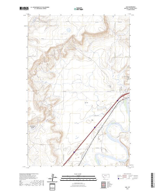
2024 Map of Ulm
USGS Topo · Published 2024About this map
Missouri River meanders through the heart of this landscape, carving through the terrain near the settlement of Ulm. This modern survey illustrates the current relationship between the river’s floodplain and the surrounding plateaus, such as the Sun River Bench and the broad expanse of the Ulm Flats. The town itself is positioned along a primary transportation corridor, where Old US Hwy 91 and the modern interstate route parallel the water.
Find a feature on this map
39 named features on this map. Tap any name to fly to it.
Don’t see what you’re looking for? This feature index may not catch every label — zoom into the map to look around manually.
Map Details
Editions of this 2024 Ulm Map
This is the sole edition of this map. No revisions or reprints were ever made.
Other maps of this area

1886 · Great Falls
USGS Topo · 1:250,000

1949 · Cascade
USGS Topo · 1:62,500

1949 · Great Falls
USGS Topo · 1:62,500

1949 · Vaughn
USGS Topo · 1:62,500

1951 · Great Falls
USGS Topo · 1:62,500

1951 · Cascade
USGS Topo · 1:62,500

1952 · Vaughn
USGS Topo · 1:62,500

1954 · Great Falls
USGS Topo · 1:250,000

1955 · Gore Hill
USGS Topo · 1:62,500

1957 · Great Falls
USGS Topo · 1:250,000