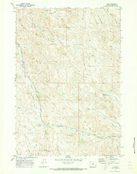
1970 Map of Ulm
USGS Topo · Published 1973About this map
The small settlement of Ulm serves as the focal point for this 1970 landscape, where the Burlington Northern railroad cuts through the drainage of Lone Tree Creek. This area of Sheridan County is defined by an intricate network of waterways and ephemeral draws, including Arkansas Creek, Dutch Creek, and Ash Creek. The topography is shaped by countless geographic features with distinct local names such as Coleman Draw, Jones Draw, and Prusak Draw.
Find a feature on this map
32 named features on this map. Tap any name to fly to it.
Don’t see what you’re looking for? This feature index may not catch every label — zoom into the map to look around manually.
Map Details
Editions of this 1970 Ulm Map
This is the sole edition of this map. No revisions or reprints were ever made.
Other maps of this area

1909 · Sheridan
USGS Topo · 1:125,000

1911 · Sheridan
USGS Topo · 1:125,000

1955 · Sheridan
USGS Topo · 1:250,000

1958 · Sheridan
USGS Topo · 1:250,000

1962 · Sheridan
USGS Topo · 1:250,000
1970 · Horse Hill
USGS Topo · 1:24,000
1970 · Verona
USGS Topo · 1:24,000
1970 · Ucross
USGS Topo · 1:24,000
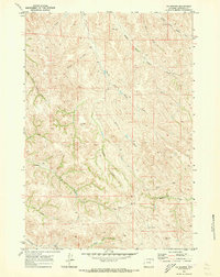
1970 · S R Springs
USGS Topo · 1:24,000
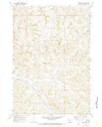
1970 · Jones Draw
USGS Topo · 1:24,000