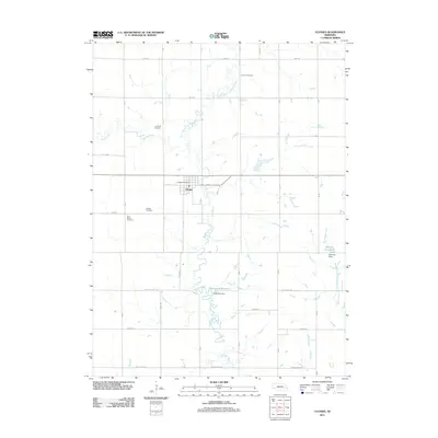
2011 Map of Ulysses
USGS Topo · Published 2011About this map
The village of Ulysses serves as the central hub of this agricultural landscape in Butler County, where the Big Blue River and its North Branch converge. This 2011 topographic survey reveals a rural territory defined by a strictly organized section-line road network, including Agnew Rd and Rock Creek Rd, which navigate around the winding river valleys. Local heritage is deeply rooted in the land, evidenced by several family-named and community landmarks such as Grimm Cemetery, Karpisek Cemetery, and Saint Marys Cemetery. Water management is prominent in the southeastern quadrant, featuring the Kratochvil Reservoir and Morovec Reservoir. Within the town limits, the Ulysses Post Office stands near the intersection of 66 and C St, anchoring the community's local infrastructure.
Find a feature on this map
42 named features on this map. Tap any name to fly to it.
Don’t see what you’re looking for? This feature index may not catch every label — zoom into the map to look around manually.
Map Details
Editions of this 2011 Ulysses Map
This is the sole edition of this map. No revisions or reprints were ever made.
Other maps of this area

1899 · David City
USGS Topo · 1:125,000

1934 · Seward
USGS Topo · 1:48,000

1934 · Utica
USGS Topo · 1:62,500

1937 · Utica
USGS Topo · 1:62,500

1939 · Seward
USGS Topo · 1:62,500

1955 · Fremont
USGS Topo · 1:250,000

1955 · Lincoln
USGS Topo · 1:250,000

1957 · Fremont
USGS Topo · 1:250,000

1957 · Lincoln
USGS Topo · 1:250,000

1958 · Fremont
USGS Topo · 1:250,000