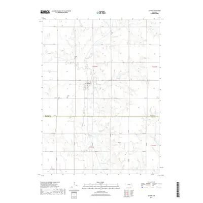
2017 Map of Ulysses
USGS Topo · Published 2017About this map
The village of Ulysses serves as the focal point of this Butler County landscape, situated where the Big Blue River meanders through the Nebraska plains. This 2017 survey reflects the enduring rural character of the region, where the town grid is clearly defined by lettered and numbered streets such as A St and 6th St. Local genealogy is well-preserved through a concentration of burial grounds surrounding the settlement, including Saint Marys Cem, Ulysses Cem, Karpisek Cem, and Grimm Cem. The map illustrates a highly managed water system essential for agricultural life, featuring the Kratochvil Reservoir and Moravec Reservoir. These man-made features, alongside Big Weedy Cr and the N Br Big Blue River, highlight the intersection of natural drainage and modern land use along the Butler and Seward County line.
Find a feature on this map
52 named features on this map. Tap any name to fly to it.
Don’t see what you’re looking for? This feature index may not catch every label — zoom into the map to look around manually.
Map Details
Editions of this 2017 Ulysses Map
This is the sole edition of this map. No revisions or reprints were ever made.
Other maps of this area

1899 · David City
USGS Topo · 1:125,000

1934 · Seward
USGS Topo · 1:48,000

1934 · Utica
USGS Topo · 1:62,500

1937 · Utica
USGS Topo · 1:62,500

1939 · Seward
USGS Topo · 1:62,500

1955 · Fremont
USGS Topo · 1:250,000

1955 · Lincoln
USGS Topo · 1:250,000

1957 · Fremont
USGS Topo · 1:250,000

1957 · Lincoln
USGS Topo · 1:250,000

1958 · Fremont
USGS Topo · 1:250,000