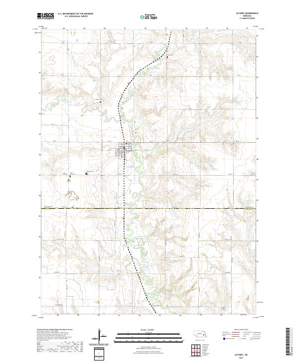
2021 Map of Ulysses
USGS Topo · Published 2021About this map
Ulysses serves as the central hub of this eastern Nebraska landscape, situated near the confluence of the Big Blue River and its northern branch. The settlement's history is deeply inscribed in the surrounding countryside, marked by a cluster of local burial grounds including Saint Marys Cem, Ulysses Cem, and the more distant Knauber Cem and Grim Cem. This distribution of cemeteries suggests the enduring footprint of early farmstead families across the sections. The terrain is defined by the winding course of the Big Blue River and the N Br Big Blue River, which carve through the plains. Man-made water features like Kratochvil Reservoir and Morovec Reservoir reflect modern water management in a region defined by agricultural drainage, while the border between Butler Co and Seward Co bisects the southern reaches of the survey.
Find a feature on this map
28 named features on this map. Tap any name to fly to it.
Don’t see what you’re looking for? This feature index may not catch every label — zoom into the map to look around manually.
Map Details
Editions of this 2021 Ulysses Map
This is the sole edition of this map. No revisions or reprints were ever made.
Other maps of this area

1899 · David City
USGS Topo · 1:125,000

1934 · Seward
USGS Topo · 1:48,000

1934 · Utica
USGS Topo · 1:62,500

1937 · Utica
USGS Topo · 1:62,500

1939 · Seward
USGS Topo · 1:62,500

1955 · Fremont
USGS Topo · 1:250,000

1955 · Lincoln
USGS Topo · 1:250,000

1957 · Fremont
USGS Topo · 1:250,000

1957 · Lincoln
USGS Topo · 1:250,000

1958 · Fremont
USGS Topo · 1:250,000