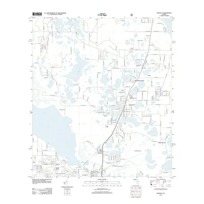
2012 Map of Umatilla
USGS Topo · Published 2012About this map
Lake Umatilla and dozens of smaller water bodies define this portion of Lake County, where citrus-era settlements and retirement communities are linked by a dense network of county roads. The landscape is dominated by the sprawling Lake Yale and the northern reaches of Lake Eustis, with the town of Dona Vista and the site of Fort Mason serving as historic anchors in the south. Local infrastructure is well-documented, from the Umatilla Municipal Airport to the Lakeview Terrace Water Tower.
Find a feature on this map
216 named features on this map. Tap any name to fly to it.
Don’t see what you’re looking for? This feature index may not catch every label — zoom into the map to look around manually.
Map Details
Editions of this 2012 Umatilla Map
This is the sole edition of this map. No revisions or reprints were ever made.
Other maps of this area

1954 · Daytona Beach
USGS Topo · 1:250,000

1955 · Orlando
USGS Topo · 1:250,000

1957 · Orlando
USGS Topo · 1:250,000

1958 · Orlando
USGS Topo · 1:250,000

1958 · Daytona Beach
USGS Topo · 1:250,000

1960 · Sorrento
USGS Topo · 1:24,000

1962 · Orlando
USGS Topo · 1:250,000

1964 · Daytona Beach
USGS Topo · 1:250,000

1965 · Leesburg East
USGS Topo · 1:24,000

1965 · Umatilla
USGS Topo · 1:24,000