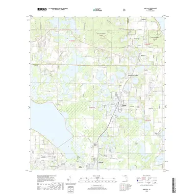
2018 Map of Umatilla
USGS Topo · Published 2018About this map
Ocala National Forest dominates the northern landscape of this Lake County region, where the wooded expanse is crisscrossed by specialized trails like the Baptist Riding Loop and Prairie Riding Loop. This area serves as a gateway to the forest from the established community of Umatilla, a town defined by its proximity to numerous water bodies including Lake Geneva, Lake Mary, and Lake Enola. The settlement pattern reflects Florida's interior growth, with small hubs such as Altoona and Dona Vista linked by a dense network of local roads and recreational corridors.
Find a feature on this map
211 named features on this map. Tap any name to fly to it.
Don’t see what you’re looking for? This feature index may not catch every label — zoom into the map to look around manually.
Map Details
Editions of this 2018 Umatilla Map
This is the sole edition of this map. No revisions or reprints were ever made.
Other maps of this area

1954 · Daytona Beach
USGS Topo · 1:250,000

1955 · Orlando
USGS Topo · 1:250,000

1957 · Orlando
USGS Topo · 1:250,000

1958 · Orlando
USGS Topo · 1:250,000

1958 · Daytona Beach
USGS Topo · 1:250,000

1960 · Sorrento
USGS Topo · 1:24,000

1962 · Orlando
USGS Topo · 1:250,000

1964 · Daytona Beach
USGS Topo · 1:250,000

1965 · Leesburg East
USGS Topo · 1:24,000

1965 · Umatilla
USGS Topo · 1:24,000