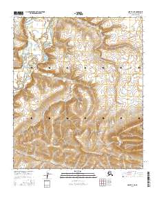
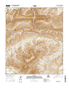
2016 Map of Umiat A-3 NE
USGS Topo · Published 2016About this map
Chandler River winds through the northwestern corner of this Arctic landscape, defining the primary drainage for the surrounding terrain. The watercourse is joined by the meandering path of Outpost Cr, which cuts across the central and southern reaches of the quadrangle. Dominating the southeastern topography, Outpost Mtn rises as a significant landmark, anchoring the survey area near the transition into t4s r4e. This 2016 survey illustrates a largely unpopulated stretch of the North Slope, emphasizing the natural hydrography and elevation contours that dictate movement through the region's northern wilderness.
Find a feature on this map
8 named features on this map. Tap any name to fly to it.
Don’t see what you’re looking for? This feature index may not catch every label — zoom into the map to look around manually.
Map Details
Editions of this 2016 Umiat A-3 NE Map
This is the sole edition of this map. No revisions or reprints were ever made.
Other maps of this area

1952 · Umiat
USGS Topo · 1:250,000

1955 · Umiat A-3
USGS Topo · 1:63,360

1955 · Umiat B-3
USGS Topo · 1:63,360

1956 · Umiat
USGS Topo · 1:250,000

1964 · Umiat
USGS Topo · 1:250,000

1971 · Umiat A-2
USGS Topo · 1:63,360
1971 · Umiat B-2
USGS Topo · 1:63,360
2016 · Umiat A-3 NW
USGS Topo · 1:25,000
2016 · Umiat B-3 SE
USGS Topo · 1:25,000
2016 · Umiat A-3 SW
USGS Topo · 1:25,000