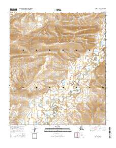
2016 Map of Umiat A-3 SE
USGS Topo · Published 2016About this map
The Tuluga River meanders across this northern landscape, carving a complex network of oxbows and wetlands through the tundra. This 2016 survey by the U.S. Geological Survey details the transition from the upland ridges in the north to the low-lying river valley. In the northern reaches, Outpost Cr drains the higher elevations, while the southern half of the quadrangle is dominated by the sprawling braided channel and adjacent marshes of the river system. The map reflects the immense scale of the North Slope, where water and land interact in an ever-shifting pattern of permafrost-influenced terrain, primarily organized by the Public Land Survey System grids of t4s r3e and t5s r4e.
Find a feature on this map
6 named features on this map. Tap any name to fly to it.
Don’t see what you’re looking for? This feature index may not catch every label — zoom into the map to look around manually.
Map Details
Editions of this 2016 Umiat A-3 SE Map
This is the sole edition of this map. No revisions or reprints were ever made.
Other maps of this area

1951 · Chandler Lake
USGS Topo · 1:250,000

1952 · Umiat
USGS Topo · 1:250,000

1955 · Umiat A-3
USGS Topo · 1:63,360

1956 · Chandler Lake
USGS Topo · 1:250,000

1956 · Umiat
USGS Topo · 1:250,000

1964 · Chandler Lake
USGS Topo · 1:250,000

1964 · Umiat
USGS Topo · 1:250,000

1971 · Umiat A-2
USGS Topo · 1:63,360
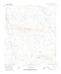
1971 · Chandler Lake D-2
USGS Topo · 1:63,360
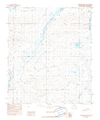
1987 · Chandler Lake D-3
USGS Topo · 1:63,360