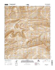
2016 Map of Umiat A-5 SE
USGS Topo · Published 2016About this map
Ninuluk Cr winds through the heart of this North Slope terrain, cutting a drainage path across a landscape defined by sharp topographic relief. To the north, Fossil Cr emerges in the high ground, its name suggesting the prehistoric geological potential of this arctic territory. The survey data, compiled from recent imagery and elevation datasets, highlights the precise contours of the ridges and valleys within the Public Land Survey System designations of t4s r3w and t5s r3w. These watercourses serve as the primary landmarks in an area focused on resource management and environmental monitoring in the remote northern borough.
Find a feature on this map
6 named features on this map. Tap any name to fly to it.
Don’t see what you’re looking for? This feature index may not catch every label — zoom into the map to look around manually.
Map Details
Editions of this 2016 Umiat A-5 SE Map
This is the sole edition of this map. No revisions or reprints were ever made.
Other maps of this area

1951 · Chandler Lake
USGS Topo · 1:250,000

1952 · Umiat
USGS Topo · 1:250,000

1955 · Umiat A-4
USGS Topo · 1:63,360

1955 · Umiat A-5
USGS Topo · 1:63,360

1956 · Chandler Lake
USGS Topo · 1:250,000

1956 · Umiat
USGS Topo · 1:250,000

1964 · Chandler Lake
USGS Topo · 1:250,000

1964 · Umiat
USGS Topo · 1:250,000
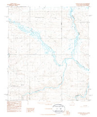
1987 · Chandler Lake D-4
USGS Topo · 1:63,360
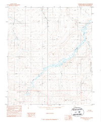
1987 · Chandler Lake D-5
USGS Topo · 1:63,360