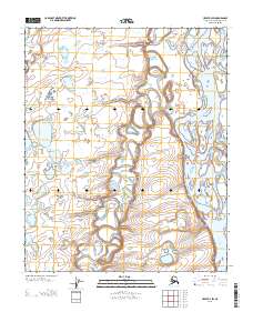
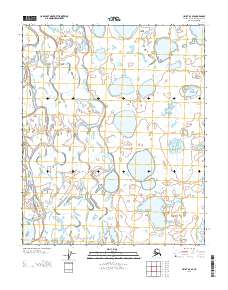
2013 Map of Umiat D-3 SW
USGS Topo · Published 2013About this map
The Colville River dominates the eastern boundary of this Arctic landscape, carving a wide path through the North Slope’s coastal plain. This 2013 topographic study highlights the dramatic elevation changes along the riverbanks, most notably at Ishukpak Bluff and the prominent height of Sentinel Hill. These landmarks serve as critical navigational points in a region defined by an intricate network of wandering waterways and seasonal drainage. Smaller tributaries like the Kogosukruk River and the Kikakrorak River weave through the tundra, creating a complex hydrologic pattern of oxbow lakes and meandering channels. The map documents a portion of the National Petroleum Reserve in Alaska, illustrating a remote wilderness where the terrain is shaped entirely by the movement of water and the underlying permafrost.
Find a feature on this map
8 named features on this map. Tap any name to fly to it.
Don’t see what you’re looking for? This feature index may not catch every label — zoom into the map to look around manually.
Map Details
Editions of this 2013 Umiat D-3 SW Map
This is the sole edition of this map. No revisions or reprints were ever made.
Other maps of this area

1952 · Umiat
USGS Topo · 1:250,000

1955 · Umiat C-4
USGS Topo · 1:63,360

1955 · Umiat D-3
USGS Topo · 1:63,360
1955 · Umiat D-4
USGS Topo · 1:63,360

1955 · Umiat C-3
USGS Topo · 1:63,360

1956 · Umiat
USGS Topo · 1:250,000

1964 · Umiat
USGS Topo · 1:250,000
2013 · Umiat D-4 SE
USGS Topo · 1:25,000
2013 · Umiat D-3 NW
USGS Topo · 1:25,000
2013 · Umiat D-3 SE
USGS Topo · 1:25,000