
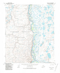
1955 Map of Umiat C-3
USGS Topo · Published 1971About this map
The Colville River dominates this mid-1950s Arctic landscape, winding through a complex system of braided channels and sandbars. Along its eastern bank, the Itkillik River converges into the main flow amidst a dense network of tundra ponds and lakes. To the south, the prominent Ulukshak Bluff stands over the river valley, marking a significant change in the local elevation.
Find a feature on this map
9 named features on this map. Tap any name to fly to it.
Don’t see what you’re looking for? This feature index may not catch every label — zoom into the map to look around manually.
Map Details
Editions of this 1955 Umiat C-3 Map
2 editions found
Other maps of this area

1952 · Umiat
USGS Topo · 1:250,000

1955 · Umiat D-2
USGS Topo · 1:63,360

1955 · Umiat B-4
USGS Topo · 1:63,360

1955 · Umiat C-4
USGS Topo · 1:63,360

1955 · Umiat D-3
USGS Topo · 1:63,360
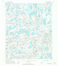
1955 · Umiat D-4
USGS Topo · 1:63,360

1955 · Umiat B-3
USGS Topo · 1:63,360

1956 · Umiat
USGS Topo · 1:250,000

1964 · Umiat
USGS Topo · 1:250,000
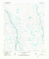
1971 · Umiat B-2
USGS Topo · 1:63,360