
1955 Map of Umiat D-2
USGS Topo · Published 1969About this map
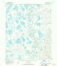
Ikpikpuk River dominates this landscape, its complex meanders and oxbow lakes illustrating the dynamic hydrology of the Alaskan North Slope. Based on 1955 aerial photography and field annotations, this advance proof records a vast permafrost environment before the era of intensive resource development in the region. The map shows an intricate network of thaw lakes and braided stream patterns characteristic of the Umiat Meridian, documented here by the Ikpikpuk River and its numerous unnamed tributaries. The absence of roads or settlements underscores the isolation of the territory during the mid-1950s, while the Bureau of Land Management's predetermined land lines indicate the early administrative efforts to grid this remote wilderness for future survey.
Find a feature on this map
1 named feature on this map. Tap any name to fly to it.
Don’t see what you’re looking for? This feature index may not catch every label — zoom into the map to look around manually.
Map Details
Editions of this 1955 Umiat D-2 Map
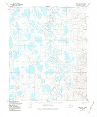
3 editions found
Other maps of this area

1951 · Harrison Bay
USGS Topo · 1:250,000

1952 · Umiat
USGS Topo · 1:250,000

1955 · Harrison Bay
USGS Topo · 1:250,000

1955 · Harrison Bay A-2
USGS Topo · 1:63,360

1955 · Harrison Bay A-3
USGS Topo · 1:63,360
1955 · Harrison Bay A-1
USGS Topo · 1:63,360

1955 · Umiat D-3
USGS Topo · 1:63,360
1955 · Umiat D-1
USGS Topo · 1:63,360

1955 · Umiat C-3
USGS Topo · 1:63,360

1956 · Umiat
USGS Topo · 1:250,000