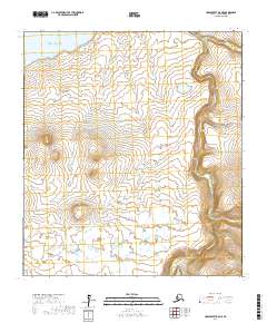
2017 Map of Unalakleet B-5 NE
USGS Topo · Published 2017About this map
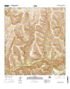
Norton Sound defines the northwestern corner of this coastal Alaskan landscape, where the cold waters of the Bering Sea meet a terrain shaped by drainage networks and topographical shifts. The Golsovia River dominates the eastern portion of the map, carving a significant valley through the elevation as it flows toward the sound. Smaller tributaries, including Shorty Cr and Waggon Box Cr, provide localized drainage for the high ground between these primary water systems. This map shows a corner of the Nome Census Area characterized by its lack of infrastructure, illustrating the wild coastal and riverine environments of the Seward Peninsula region before any modern road development reached this specific reach of the coastline.
Find a feature on this map
8 named features on this map. Tap any name to fly to it.
Don’t see what you’re looking for? This feature index may not catch every label — zoom into the map to look around manually.
Map Details
Editions of this 2017 Unalakleet B-5 NE Map
This is the sole edition of this map. No revisions or reprints were ever made.
Other maps of this area

1951 · Unalakleet
USGS Topo · 1:250,000

1952 · Unalakleet B-4
USGS Topo · 1:63,360

1952 · Unalakleet C-4
USGS Topo · 1:63,360

1952 · Unalakleet B-5
USGS Topo · 1:63,360
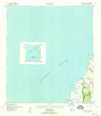
1952 · Unalakleet C-5
USGS Topo · 1:63,360

1952 · Unalakleet
USGS Topo · 1:250,000

1964 · Unalakleet
USGS Topo · 1:250,000
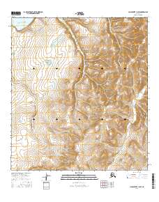
2016 · Unalakleet C-4 SW
USGS Topo · 1:25,000
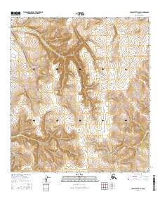
2016 · Unalakleet B-4 NW
USGS Topo · 1:25,000
2016 · Unalakleet B-4 SW
USGS Topo · 1:25,000