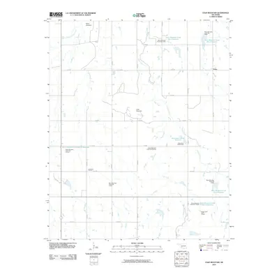
2010 Map of Unap Mountain
USGS Topo · Published 2010About this map
Unap Mountain and Rainy Mountain anchor this landscape in Kiowa County, where the plains meet distinct elevations. The 2010 topography is defined by a sophisticated system of water management, visible through numerous flood control structures such as Rainy Mountain Creek Site 13 Dam and the Oknoname 075018 Reservoir. These reservoirs are fed by the winding courses of Rainy Mountain Creek, Sugar Creek, and Longhorn Creek.
Find a feature on this map
35 named features on this map. Tap any name to fly to it.
Don’t see what you’re looking for? This feature index may not catch every label — zoom into the map to look around manually.
Map Details
Editions of this 2010 Unap Mountain Map
This is the sole edition of this map. No revisions or reprints were ever made.
Other maps of this area

1949 · Cooperton
USGS Topo · 1:62,500

1950 · Saddle Mountain
USGS Topo · 1:62,500

1955 · Lawton
USGS Topo · 1:250,000

1955 · Clinton
USGS Topo · 1:250,000

1956 · Glen Mountains
USGS Topo · 1:24,000

1956 · Saddle Mountain
USGS Topo · 1:24,000

1956 · Cooperton
USGS Topo · 1:24,000

1956 · Bally Mountain
USGS Topo · 1:24,000

1956 · Unap Mountain
USGS Topo · 1:24,000

1956 · Rainy Mountain Creek
USGS Topo · 1:24,000