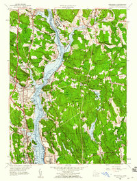
1958 Map of Uncasville
USGS Topo · Published 1960About this map
The Thames River serves as the central artery of this 1958 survey, flanked by a complex network of maritime, military, and institutional landmarks during the late 1950s. The riverbank is dominated by the U S Naval Reservation and its Submarine Base, which contrast with the nearby educational grounds of the U S Coast Guard Academy and Connecticut College. To the north, the sprawling campus of the Norwich State Hospital and the cultural significance of Mohegan, including the Mohegan Ch and Fort Shantok State Park, reflect the area's deep tribal and colonial history. Transportation routes are well-defined by the New Haven and Hartford Railroad and the Vermont Central Railroad, which supported riverfront settlements like Uncasville, Gales Ferry, and Poquetanuck. The landscape also reveals interesting terrain features such as The Sandy Desert and Vinegar Hill, providing a detailed look at New London County's mid-century geography.
Find a feature on this map
79 named features on this map. Tap any name to fly to it.
Don’t see what you’re looking for? This feature index may not catch every label — zoom into the map to look around manually.
Map Details
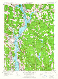
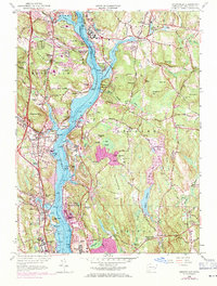
Editions of this 1958 Uncasville Map
3 editions found
Other maps of this area

1889 · Stonington
USGS Topo · 1:62,500

1889 · Moosup
USGS Topo · 1:62,500

1892 · New London
USGS Topo · 1:62,500

1892 · Norwich
USGS Topo · 1:62,500

1893 · Moosup
USGS Topo · 1:62,500

1893 · Stonington
USGS Topo · 1:62,500

1893 · New London
USGS Topo · 1:62,500

1920 · Moosup
USGS Topo · 1:62,500

1921 · New London
USGS Topo · 1:62,500

1921 · Stonington
USGS Topo · 1:62,500