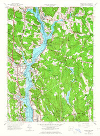
1958 Map of Uncasville
USGS Topo · Published 1967About this map
The Thames River corridor serves as the industrial and military backbone of this 1958 revision, where maritime operations and educational institutions line the deep-water banks. Significant military and institutional footprints are visible at the U S Naval Reservation, including the Submarine Base and the U S Coast Guard Academy near the southern border. The landscape is defined by its deep coves and ridges, notably Horton Cove and Poquetanuck Cove, while the New York New Haven and Hartford railroad tracks parallel the western shore to serve established villages like Uncasville and Montville Station.
Find a feature on this map
88 named features on this map. Tap any name to fly to it.
Don’t see what you’re looking for? This feature index may not catch every label — zoom into the map to look around manually.
Map Details
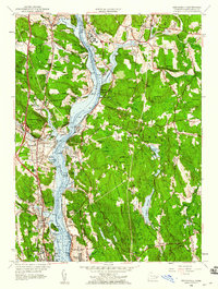
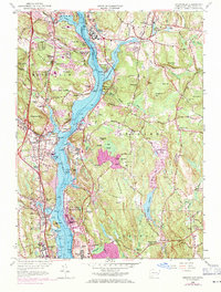
Editions of this 1958 Uncasville Map
3 editions found
Other maps of this area

1889 · Stonington
USGS Topo · 1:62,500

1889 · Moosup
USGS Topo · 1:62,500

1892 · New London
USGS Topo · 1:62,500

1892 · Norwich
USGS Topo · 1:62,500

1893 · Moosup
USGS Topo · 1:62,500

1893 · Stonington
USGS Topo · 1:62,500

1893 · New London
USGS Topo · 1:62,500

1920 · Moosup
USGS Topo · 1:62,500

1921 · New London
USGS Topo · 1:62,500

1921 · Stonington
USGS Topo · 1:62,500