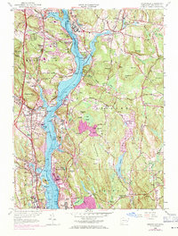
1958 Map of Uncasville
USGS Topo · Published 1971About this map
The Thames River corridor serves as the primary artery for this mid-century survey, flanked by a dense network of institutional and maritime sites. On the eastern bank, the extensive Norwich State Hospital grounds and the U S Naval Reservation near Gales Ferry demonstrate the region's significant role in public health and national defense. The western shore is defined by the industrial and residential growth of Uncasville and Quaker Hill, while the southern reaches feature the educational campuses of Connecticut College and the US Coast Guard Academy as they interface with the river's coves.
Find a feature on this map
127 named features on this map. Tap any name to fly to it.
Don’t see what you’re looking for? This feature index may not catch every label — zoom into the map to look around manually.
Map Details
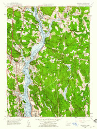
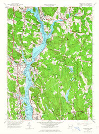
Editions of this 1958 Uncasville Map
3 editions found
Other maps of this area

1889 · Stonington
USGS Topo · 1:62,500

1889 · Moosup
USGS Topo · 1:62,500

1892 · New London
USGS Topo · 1:62,500

1892 · Norwich
USGS Topo · 1:62,500

1893 · Moosup
USGS Topo · 1:62,500

1893 · Stonington
USGS Topo · 1:62,500

1893 · New London
USGS Topo · 1:62,500

1920 · Moosup
USGS Topo · 1:62,500

1921 · New London
USGS Topo · 1:62,500

1921 · Stonington
USGS Topo · 1:62,500