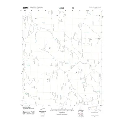
2011 Map of Underwood Lake
USGS Topo · Published 2011About this map
Jim Smith Peak and Jones Peak dominate the high country of this western New Mexico landscape, which is defined by an extensive network of ephemeral drainages and vital water storage points. The ranching heritage of the region is evident in the numerous named tanks and springs, such as Karruth Tank, Arroyo Tank, and Twin Doe Spring. These features supported the livestock operations at Gribble Place and Bastion Ranch, illustrating the careful management of water resources in a semi-arid environment.
Find a feature on this map
36 named features on this map. Tap any name to fly to it.
Don’t see what you’re looking for? This feature index may not catch every label — zoom into the map to look around manually.
Map Details
Editions of this 2011 Underwood Lake Map
This is the sole edition of this map. No revisions or reprints were ever made.
Other maps of this area

1886 · St Johns
USGS Topo · 1:250,000

1892 · St Johns
USGS Topo · 1:250,000

1915 · Reserve
USGS Topo · 1:125,000

1918 · Reserve
USGS Topo · 1:125,000

1922 · Nutrioso
USGS Topo · 1:125,000

1954 · Clifton
USGS Topo · 1:250,000

1954 · Saint Johns
USGS Topo · 1:250,000

1957 · Clifton
USGS Topo · 1:250,000

1957 · Saint Johns
USGS Topo · 1:250,000

1958 · Clifton
USGS Topo · 1:250,000