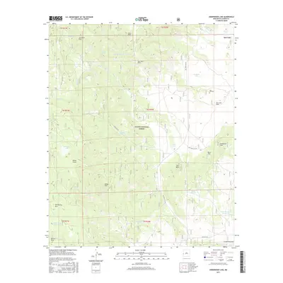
2017 Map of Underwood Lake
USGS Topo · Published 2017About this map
Spur Lake and the high elevations of the Apache National Forest define this western New Mexico landscape. The area is characterized by a series of high mesas and peaks, including the prominent Hell Roaring Mesa and Bill Lee Mesa in the south, while Jim Smith Peak and Jones Peak anchor the northern reaches. This terrain is marked by a complex system of drainage and storage, with numerous stock tanks and springs such as Karruth Tank and Twin Boe Spring supporting life in the high-altitude forest.
Find a feature on this map
48 named features on this map. Tap any name to fly to it.
Don’t see what you’re looking for? This feature index may not catch every label — zoom into the map to look around manually.
Map Details
Editions of this 2017 Underwood Lake Map
This is the sole edition of this map. No revisions or reprints were ever made.
Other maps of this area

1886 · St Johns
USGS Topo · 1:250,000

1892 · St Johns
USGS Topo · 1:250,000

1915 · Reserve
USGS Topo · 1:125,000

1918 · Reserve
USGS Topo · 1:125,000

1922 · Nutrioso
USGS Topo · 1:125,000

1954 · Clifton
USGS Topo · 1:250,000

1954 · Saint Johns
USGS Topo · 1:250,000

1957 · Clifton
USGS Topo · 1:250,000

1957 · Saint Johns
USGS Topo · 1:250,000

1958 · Clifton
USGS Topo · 1:250,000