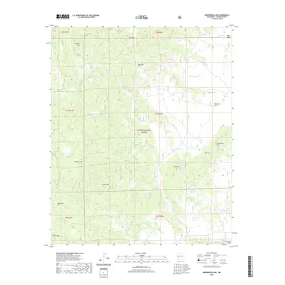
2020 Map of Underwood Lake
USGS Topo · Published 2020About this map
Apache National Forest encompasses the high-altitude terrain of western New Mexico in this 2020 topographic survey. The landscape is defined by its dramatic volcanic and erosional landforms, including the prominent Jim Smith Peak, Red Butte, and Bishop Peak. The water system here is a complex network of seasonal tanks and draws such as Spur Lake Draw and Funderburg Draw, which support the high-country mesas. Local history is anchored by the Spur Lake Cem located near the Spur Lake Basin, a reminder of the ranching and timber families who have long worked this section of Catron County. Significant landmarks like Hellroaring Mesa and Bill Lee Mesa dominate the southwestern reaches, separated by the deep incision of Bishop Canyon. The distribution of Karruth Tank and Knowlton Tank across the forest floor illustrates the ongoing importance of livestock water management in this arid mountain environment.
Find a feature on this map
40 named features on this map. Tap any name to fly to it.
Don’t see what you’re looking for? This feature index may not catch every label — zoom into the map to look around manually.
Map Details
Editions of this 2020 Underwood Lake Map
This is the sole edition of this map. No revisions or reprints were ever made.
Other maps of this area

1886 · St Johns
USGS Topo · 1:250,000

1892 · St Johns
USGS Topo · 1:250,000

1915 · Reserve
USGS Topo · 1:125,000

1918 · Reserve
USGS Topo · 1:125,000

1922 · Nutrioso
USGS Topo · 1:125,000

1954 · Clifton
USGS Topo · 1:250,000

1954 · Saint Johns
USGS Topo · 1:250,000

1957 · Clifton
USGS Topo · 1:250,000

1957 · Saint Johns
USGS Topo · 1:250,000

1958 · Clifton
USGS Topo · 1:250,000