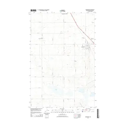
2014 Map of Underwood
USGS Topo · Published 2014About this map
Underwood serves as the primary hub of activity in this part of McLean County, situated along the corridor of Us-83. The community is well-connected by a grid of numbered avenues and streets, including Main St and Summit St. To the north, Riverdale Junction marks a significant waypoint for travelers and rail-adjacent commerce. The agricultural landscape is punctuated by several small cemeteries, such as Saint Johns Cem and Zoar Cem, which provide valuable location data for genealogists and local historians tracing families in this prairie region.
Find a feature on this map
33 named features on this map. Tap any name to fly to it.
Don’t see what you’re looking for? This feature index may not catch every label — zoom into the map to look around manually.
Map Details
Editions of this 2014 Underwood Map
This is the sole edition of this map. No revisions or reprints were ever made.
Other maps of this area

1922 · Garrison
USGS Topo · 1:62,500

1929 · Coleharbor
USGS Topo · 1:62,500

1948 · Stanton
USGS Topo · 1:62,500

1949 · Stanton
USGS Topo · 1:62,500

1949 · Washburn
USGS Topo · 1:62,500

1954 · McClusky
USGS Topo · 1:250,000

1958 · McClusky
USGS Topo · 1:250,000

1961 · Lake Nettie
USGS Topo · 1:24,000

1961 · Washburn
USGS Topo · 1:24,000

1961 · Washburn NE
USGS Topo · 1:24,000