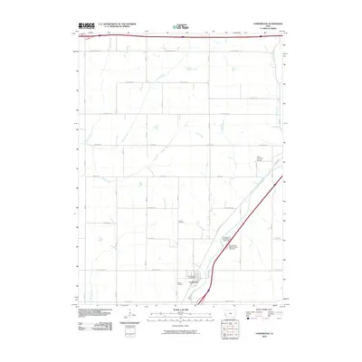
2010 Map of Underwood
USGS Topo · Published 2010About this map
The town of Underwood serves as the focal point of this western Iowa survey, situated along the diagonal corridor of Railroad Hwy. This agricultural landscape is defined by its grid-patterned roads and a network of named waterways, including the prominent Mosquito Creek and Pigeon Creek, which cut through the fertile terrain. The map records the local infrastructure of the early 21st century, from the Underwood Post Office to the Quail Run Golf Course on the town's northern edge.
Find a feature on this map
24 named features on this map. Tap any name to fly to it.
Don’t see what you’re looking for? This feature index may not catch every label — zoom into the map to look around manually.
Map Details
Editions of this 2010 Underwood Map
This is the sole edition of this map. No revisions or reprints were ever made.
Other maps of this area

1893 · Omaha
USGS Topo · 1:62,500

1954 · Omaha
USGS Topo · 1:250,000

1956 · Underwood
USGS Topo · 1:24,000

1956 · Council Bluffs North
USGS Topo · 1:24,000

1956 · Neola
USGS Topo · 1:24,000

1956 · Mc Clelland
USGS Topo · 1:24,000

1957 · Omaha
USGS Topo · 1:250,000

1957 · Taylor
USGS Topo · 1:24,000

1957 · Honey Creek
USGS Topo · 1:24,000

1958 · Omaha
USGS Topo · 1:250,000