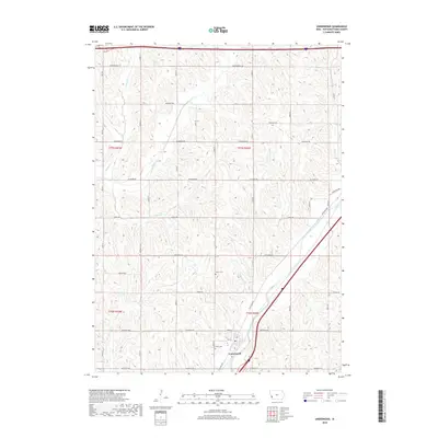
2018 Map of Underwood
USGS Topo · Published 2018About this map
Underwood sits at the nexus of a structured agricultural landscape, where the diagonal path of Mosquito Creek and the Railroad Hwy break the rigid grid of the Public Land Survey System. This modern survey reveals a region defined by its hydrology, as several waterways including Pigeon Cr, Potato Cr, and Onion Cr carve through the loess hills of Pottawattamie County. The placement of Fisher Cem on the outskirts of the town and Castor Cem to the north provide specific points of interest for those tracing local family lineages. The road network, with names like Whippoorwill Rd and Teakwood Rd, reflects a mix of traditional section-line routes and specialized local connectors that have served this farming community for generations.
Find a feature on this map
38 named features on this map. Tap any name to fly to it.
Don’t see what you’re looking for? This feature index may not catch every label — zoom into the map to look around manually.
Map Details
Editions of this 2018 Underwood Map
This is the sole edition of this map. No revisions or reprints were ever made.
Other maps of this area

1893 · Omaha
USGS Topo · 1:62,500

1954 · Omaha
USGS Topo · 1:250,000

1956 · Underwood
USGS Topo · 1:24,000

1956 · Council Bluffs North
USGS Topo · 1:24,000

1956 · Neola
USGS Topo · 1:24,000

1956 · Mc Clelland
USGS Topo · 1:24,000

1957 · Omaha
USGS Topo · 1:250,000

1957 · Taylor
USGS Topo · 1:24,000

1957 · Honey Creek
USGS Topo · 1:24,000

1958 · Omaha
USGS Topo · 1:250,000