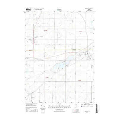
2014 Map of Union City
USGS Topo · Published 2014About this map
The Saint Joseph River and Coldwater River converge in this southern Michigan landscape, defining the layout of Union City at the eastern edge of the survey. The river system, including the expansive Union Lake, serves as a central geographical feature that links the settlements of Athens and Sherwood. This area, straddling the boundary of Calhoun and Branch Counties, maintains a grid-like network of rural roads such as 8 Mile Rd and R Dr S, reflecting the region's agricultural organization. Local history is anchored by several long-established burial grounds, including Old Burg Cem and Riverside Cem. Significant crossings like Little Bridge and Studley Bridge provide specific points of interest for those tracing family travels and historical routes through the river valley.
Find a feature on this map
107 named features on this map. Tap any name to fly to it.
Don’t see what you’re looking for? This feature index may not catch every label — zoom into the map to look around manually.
Map Details
Editions of this 2014 Union City Map
This is the sole edition of this map. No revisions or reprints were ever made.
Other maps of this area

1918 · Union City
USGS Topo · 1:62,500

1918 · Leonidas
USGS Topo · 1:62,500

1944 · Leonidas
USGS Topo · 1:62,500

1947 · Union City
USGS Topo · 1:62,500

1947 · Leonidas
USGS Topo · 1:62,500

1950 · Leonidas
USGS Topo · 1:62,500

1950 · Union City
USGS Topo · 1:62,500

1953 · Fort Wayne
USGS Topo · 1:250,000

1956 · Fort Wayne
USGS Topo · 1:250,000

1958 · Grand Rapids
USGS Topo · 1:250,000