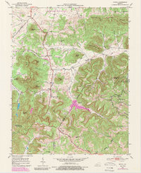
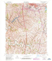
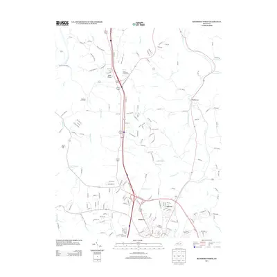
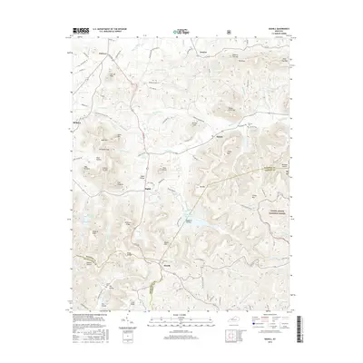
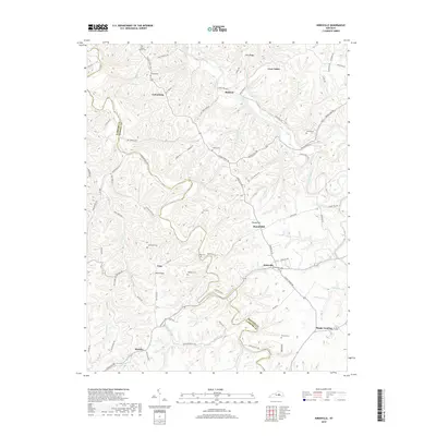
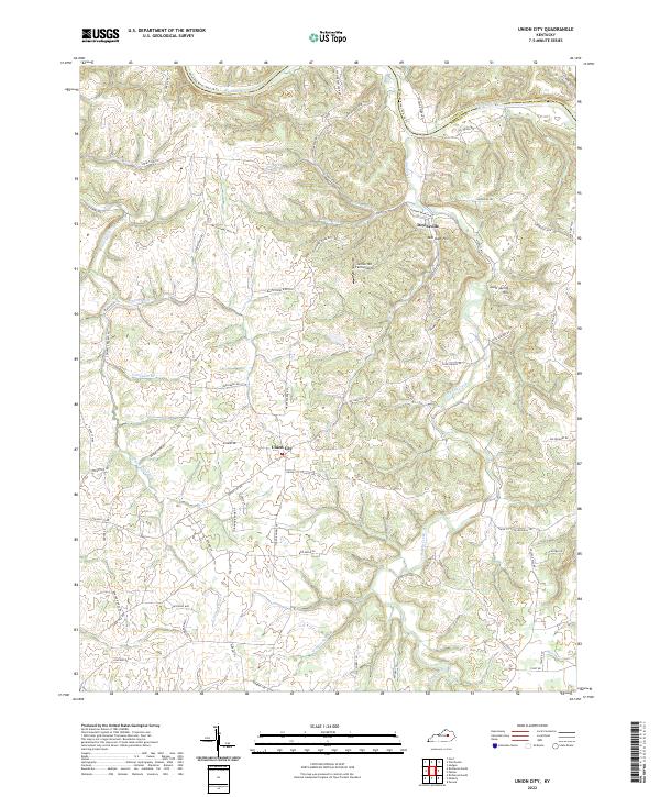
1952 Map of Union City
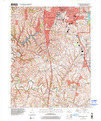
USGS Topo · Published 1989About this map
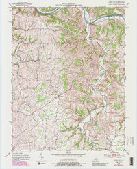
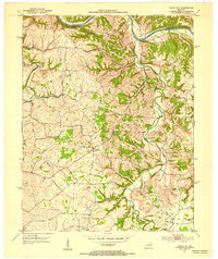
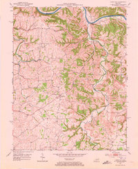
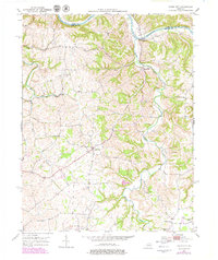
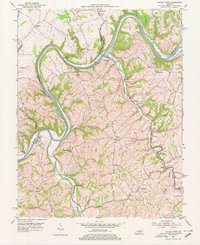
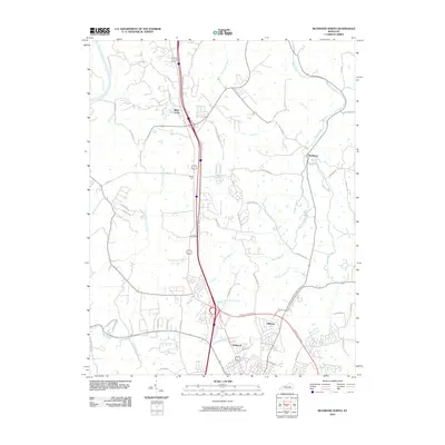
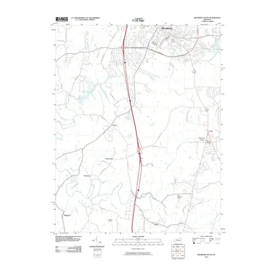
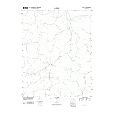
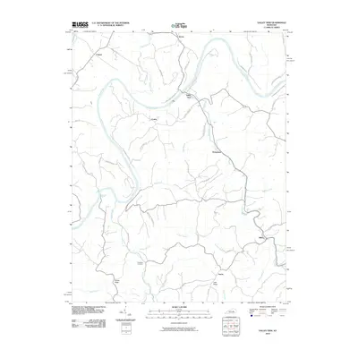
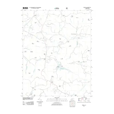
The Kentucky River carves the northern border of this Madison County landscape, where the deeply incised valleys of Muddy Creek and Doylesville Creek meet the main channel. Central to the sheet is Union City, a primary crossroads community situated on the ridge lines above the drainage systems. The map illustrates a rural Kentucky settlement pattern defined by proximity to water and high-ground transportation routes, with smaller clusters at Doylesville and Pleasant Green.
Find a feature on this map
15 named features on this map. Tap any name to fly to it.
Don’t see what you’re looking for? This feature index may not catch every label — zoom into the map to look around manually.
Map Details
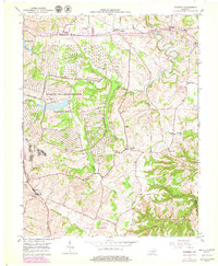
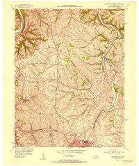
Editions of this 1952 Union City Map
4 editions found
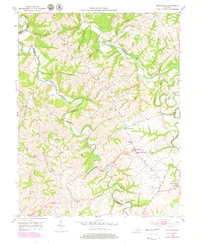
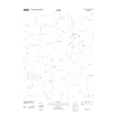
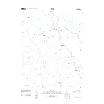
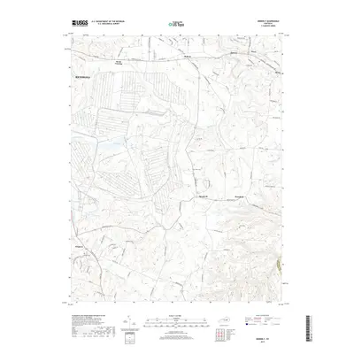
Historical Maps of Doylesville Through Time
46 maps found
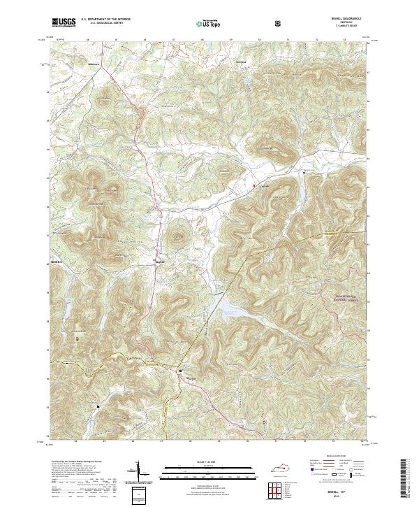
1952 Bighill
Madison County, KY
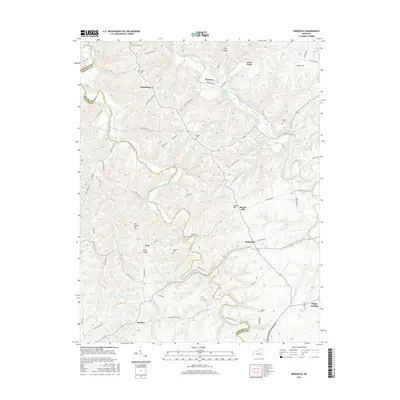
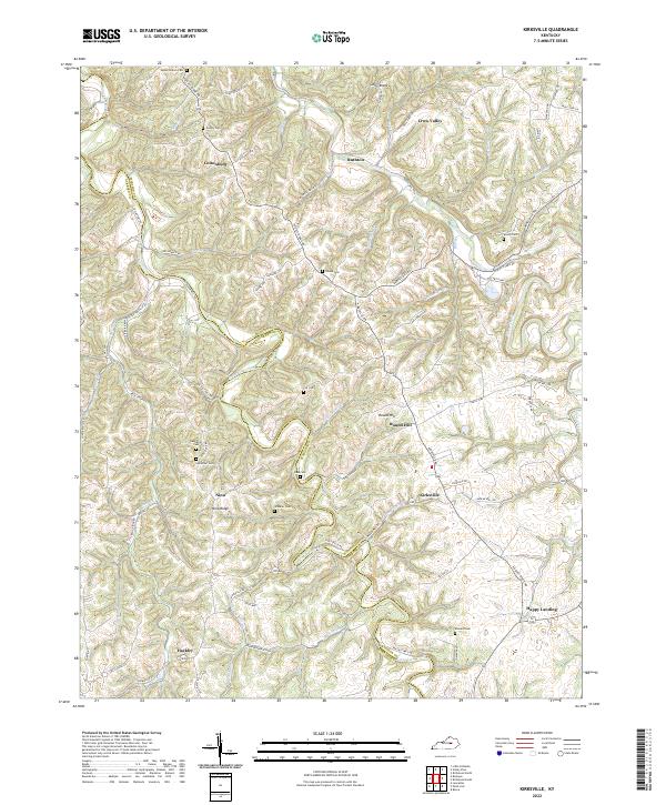
1952 Kirksville
Madison County, KY
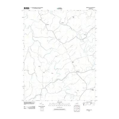
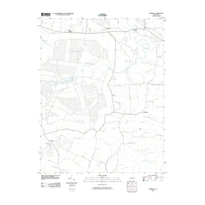
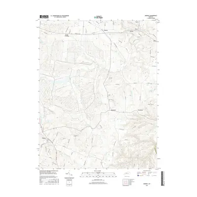
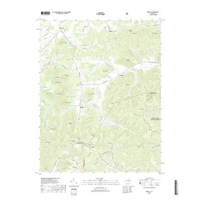
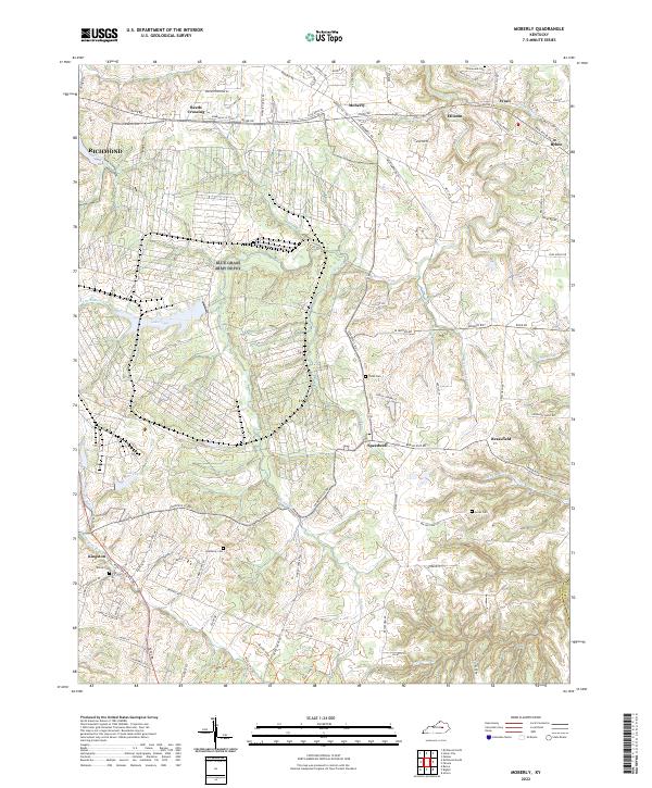
1952 Moberly
Madison County, KY
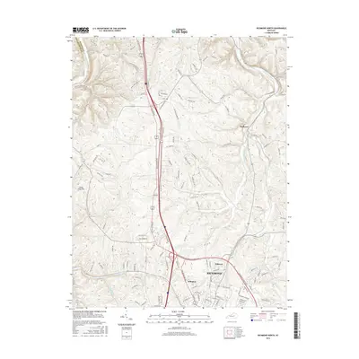
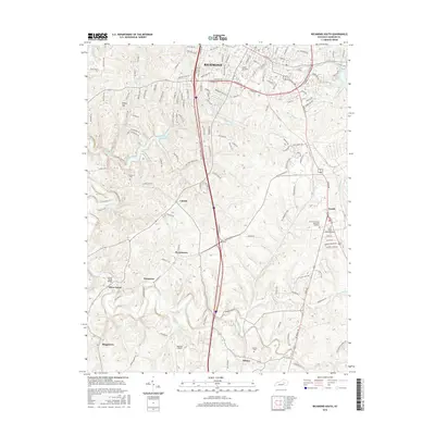
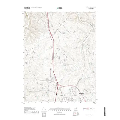
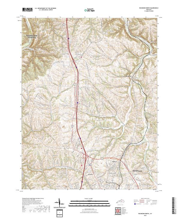
1952 Richmond North
Madison County, KY
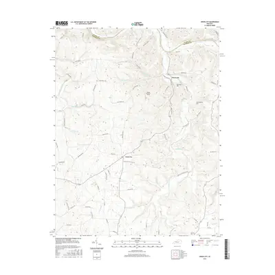
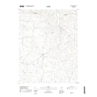
1952 Union City
Madison County, KY
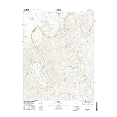
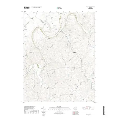
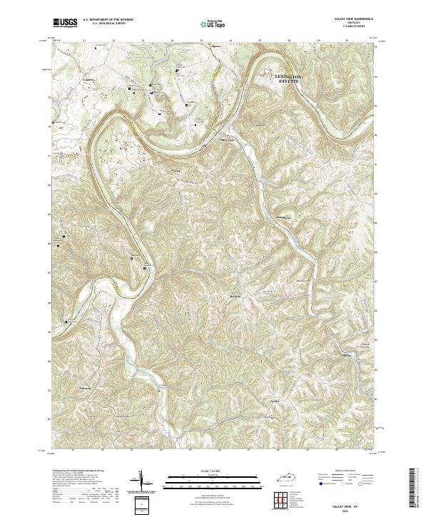
1952 Valley View
Madison County, KY
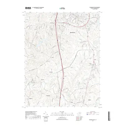
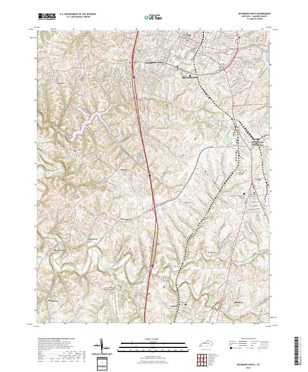
1953 Richmond South
Madison County, KY
1954 Moberly
Madison County, KY
1965 Richmond North
Madison County, KY
1965 Richmond South
Madison County, KY
1997 Richmond South
Madison County, KY
2010 Kirksville
Madison County, KY
2010 Moberly
Madison County, KY
2010 Richmond North
Madison County, KY
2010 Richmond South
Madison County, KY
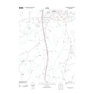
2010 Union City
Madison County, KY
2010 Valley View
Madison County, KY
2011 Bighill
Madison County, KY
2013 Bighill
Madison County, KY
2013 Kirksville
Madison County, KY
2013 Moberly
Madison County, KY
2013 Richmond North
Madison County, KY
2013 Richmond South
Madison County, KY
2013 Union City
Madison County, KY
2013 Valley View
Madison County, KY
2016 Bighill
Madison County, KY
2016 Kirksville
Madison County, KY
2016 Moberly
Madison County, KY
2016 Richmond North
Madison County, KY
2016 Richmond South
Madison County, KY
2016 Union City
Madison County, KY
2016 Valley View
Madison County, KY
2019 Bighill
Madison County, KY
2019 Kirksville
Madison County, KY
2019 Moberly
Madison County, KY
2019 Richmond North
Madison County, KY
2019 Richmond South
Madison County, KY
2019 Union City
Madison County, KY
2019 Valley View
Madison County, KY
2022 Bighill
Madison County, KY
2022 Kirksville
Madison County, KY
2022 Moberly
Madison County, KY
2022 Richmond North
Madison County, KY
2022 Richmond South
Madison County, KY
2022 Union City
Madison County, KY
2022 Valley View
Madison County, KY