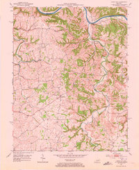
1952 Map of Union City
USGS Topo · Published 1973About this map
The Kentucky River forms a deeply incised northern boundary on this 1952 sheet, separating Clark and Madison counties. The interior landscape is defined by the winding course of Muddy Creek and its many tributaries, including Rocky Lick Branch and Stony Run. These waterways dictated the placement of early settlements, with small rural centers often anchored by local congregations. For genealogists, the map preserves the locations of several community landmarks, such as Doylesville Ch and Old Cain Springs Ch. The hub of Union City stands at the intersection of several ridge roads, surrounded by a network of farmsteads and small cemeteries. This survey captures a moment before modern development altered the rural character of the Bluegrass region, showing the density of homes along the East Fork and Otter Creek drainage basins.
Find a feature on this map
17 named features on this map. Tap any name to fly to it.
Don’t see what you’re looking for? This feature index may not catch every label — zoom into the map to look around manually.
Map Details
Editions of this 1952 Union City Map
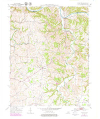
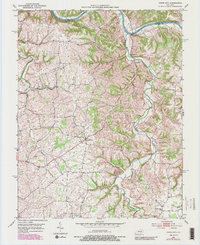
4 editions found
Other maps of this area

1892 · Richmond
USGS Topo · 1:125,000

1897 · Richmond
USGS Topo · 1:125,000

1952 · Union City
USGS Topo · 1:24,000

1952 · Palmer
USGS Topo · 1:24,000

1952 · Ford
USGS Topo · 1:24,000

1952 · Winchester
USGS Topo · 1:24,000

1952 · Richmond North
USGS Topo · 1:24,000

1952 · Panola
USGS Topo · 1:24,000
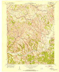
1952 · Hedges
USGS Topo · 1:24,000

1952 · Moberly
USGS Topo · 1:24,000