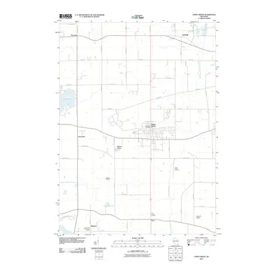
2010 Map of Union Grove
USGS Topo · Published 2010About this map
Union Grove stands as the central hub of this Racine County landscape, where the agricultural grid is defined by historic corridors like Plank Rd. The region’s development is anchored by small settlements such as Kansasville, Yorkville, and Paris, each maintaining a distinct identity within the sprawling farmsteads. Significant local history is preserved in sacred sites like the Saint Francis Xavier Church Cemetery and Saint Johns Catholic Cemetery, which serve as vital touchstones for genealogical research in the area.
Find a feature on this map
54 named features on this map. Tap any name to fly to it.
Don’t see what you’re looking for? This feature index may not catch every label — zoom into the map to look around manually.
Map Details
Editions of this 2010 Union Grove Map
This is the sole edition of this map. No revisions or reprints were ever made.
Other maps of this area

1891 · Bayview
USGS Topo · 1:62,500

1891 · Muskego
USGS Topo · 1:62,500

1892 · Racine
USGS Topo · 1:62,500

1893 · Silver Lake
USGS Topo · 1:62,500

1901 · Bayview
USGS Topo · 1:62,500

1901 · Muskego
USGS Topo · 1:62,500

1905 · Racine
USGS Topo · 1:62,500

1906 · Silver Lake
USGS Topo · 1:62,500

1954 · Rockford
USGS Topo · 1:250,000

1955 · Rockford
USGS Topo · 1:250,000