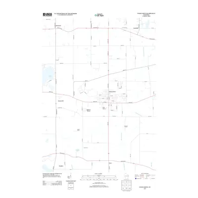
2013 Map of Union Grove
USGS Topo · Published 2013About this map
Union Grove serves as the central hub for this Racine County landscape, where the local economy is anchored by the Racine County Fairgrounds and the agricultural reaches of southeastern Wisconsin. The geography is defined by the headwaters of the Des Plaines River and the Root River, which drain a patchwork of dairy farms and small settlements like Paris and Brighton. To the west, the recreation-focused waters of Eagle Lake and the smaller Friendship Lake break up the grid of section roads.
Find a feature on this map
76 named features on this map. Tap any name to fly to it.
Don’t see what you’re looking for? This feature index may not catch every label — zoom into the map to look around manually.
Map Details
Editions of this 2013 Union Grove Map
This is the sole edition of this map. No revisions or reprints were ever made.
Other maps of this area

1891 · Bayview
USGS Topo · 1:62,500

1891 · Muskego
USGS Topo · 1:62,500

1892 · Racine
USGS Topo · 1:62,500

1893 · Silver Lake
USGS Topo · 1:62,500

1901 · Bayview
USGS Topo · 1:62,500

1901 · Muskego
USGS Topo · 1:62,500

1905 · Racine
USGS Topo · 1:62,500

1906 · Silver Lake
USGS Topo · 1:62,500

1954 · Rockford
USGS Topo · 1:250,000

1955 · Rockford
USGS Topo · 1:250,000