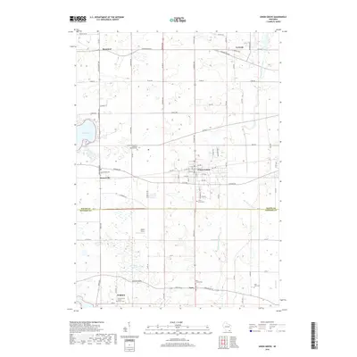
2018 Map of Union Grove
USGS Topo · Published 2018About this map
The village of Union Grove serves as the central hub of this agricultural and residential landscape spanning the border of Racine and Kenosha counties. Long-established communities such as Kansasville, Brighton, and Paris define the region's character, connected by a network of rural roads like Plank Rd and Durand Ave. Significant local history is preserved at the Southern Wisconsin Veterans Memorial Cem and the Union Grove Cem, while the Saint Francis Xavier Church stands as a spiritual landmark in the western portion of the survey.
Find a feature on this map
89 named features on this map. Tap any name to fly to it.
Don’t see what you’re looking for? This feature index may not catch every label — zoom into the map to look around manually.
Map Details
Editions of this 2018 Union Grove Map
This is the sole edition of this map. No revisions or reprints were ever made.
Other maps of this area

1891 · Bayview
USGS Topo · 1:62,500

1891 · Muskego
USGS Topo · 1:62,500

1892 · Racine
USGS Topo · 1:62,500

1893 · Silver Lake
USGS Topo · 1:62,500

1901 · Bayview
USGS Topo · 1:62,500

1901 · Muskego
USGS Topo · 1:62,500

1905 · Racine
USGS Topo · 1:62,500

1906 · Silver Lake
USGS Topo · 1:62,500

1954 · Rockford
USGS Topo · 1:250,000

1955 · Rockford
USGS Topo · 1:250,000