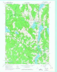
1965 Map of Union
USGS Topo · Published 1974About this map
The St George River chain of lakes dictates the settlement and industrial character of mid-1960s Knox County. The village of Union serves as a central hub, situated between Sennebec Pond and Round Pond, featuring the Thompson Memorial Sch, a local Fairgrounds, and the Village Cem. To the south, the landscape transitions through South Union along the eastern shore of Seven Tree Pond.
Find a feature on this map
46 named features on this map. Tap any name to fly to it.
Don’t see what you’re looking for? This feature index may not catch every label — zoom into the map to look around manually.
Map Details
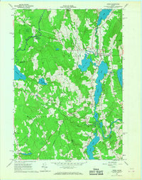
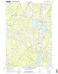
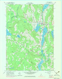
Editions of this 1965 Union Map
4 editions found
Other maps of this area

1904 · Rockland
USGS Topo · 1:62,500

1906 · Rockland
USGS Topo · 1:62,500

1913 · Waldoboro
USGS Topo · 1:48,000

1915 · Waldoboro
USGS Topo · 1:62,500

1915 · Belfast
USGS Topo · 1:62,500

1916 · Liberty
USGS Topo · 1:62,500

1917 · Belfast
USGS Topo · 1:62,500

1941 · Belfast
USGS Topo · 1:62,500

1941 · Rockland
USGS Topo · 1:62,500

1941 · Waldoboro
USGS Topo · 1:62,500